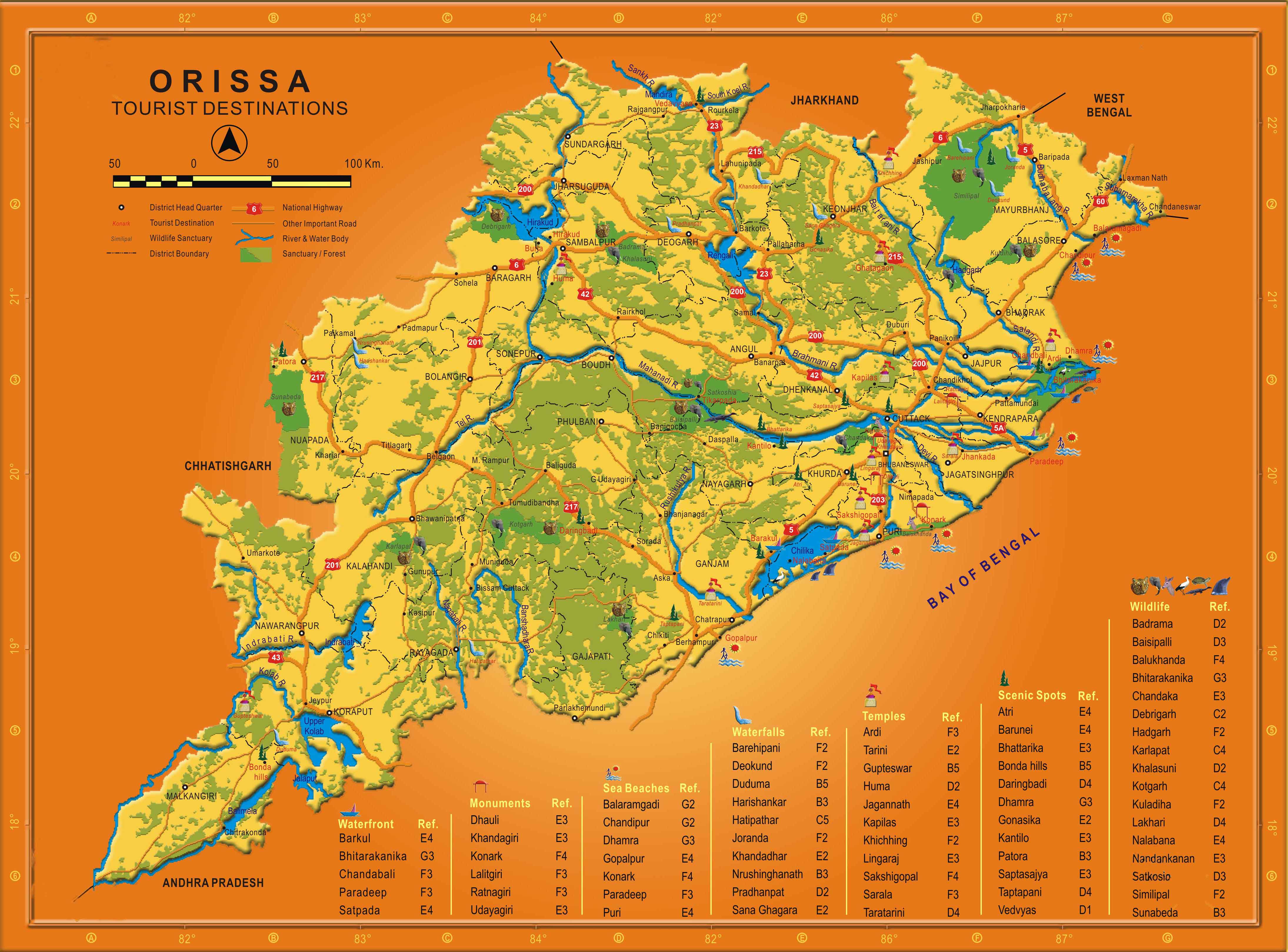
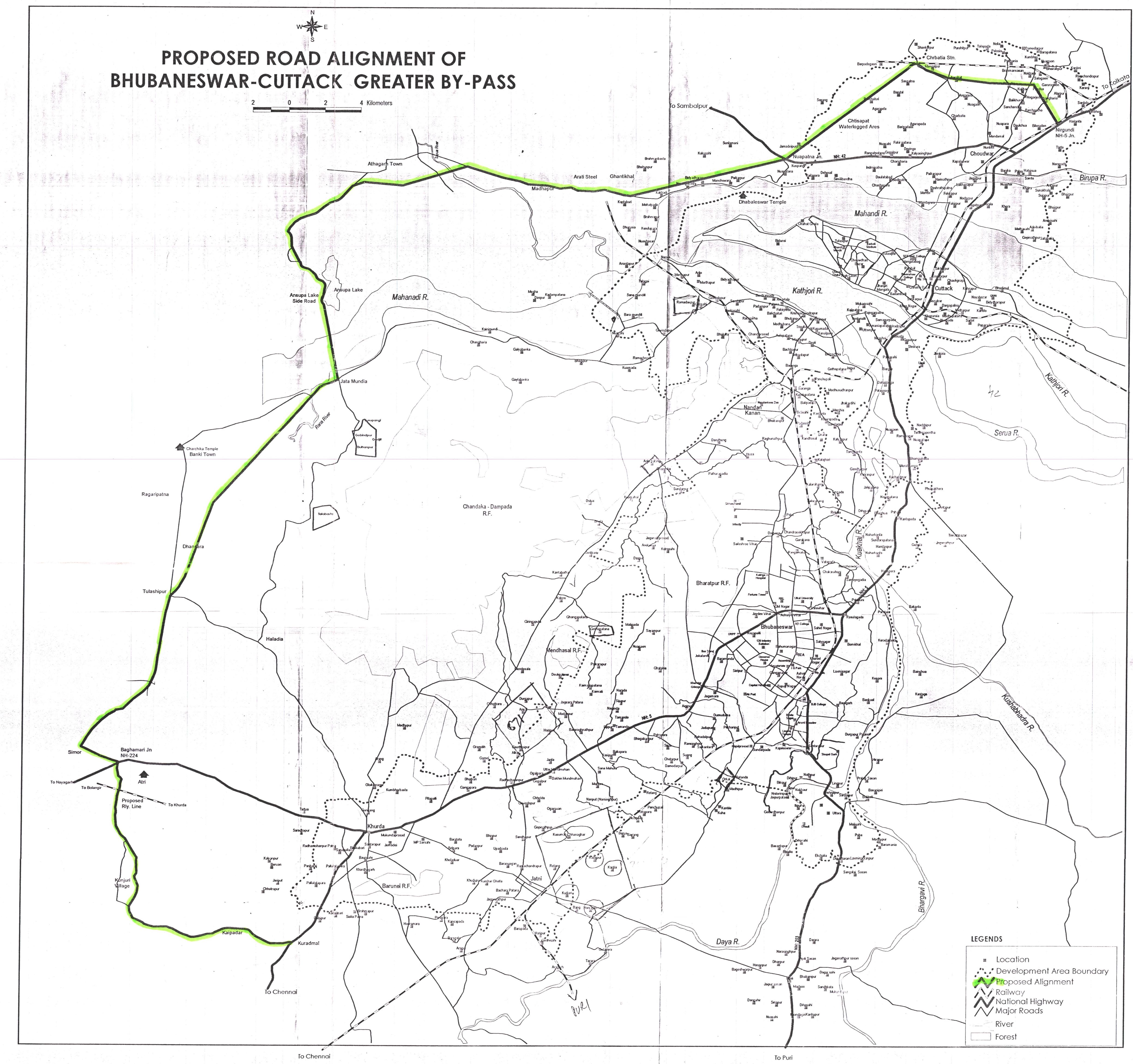
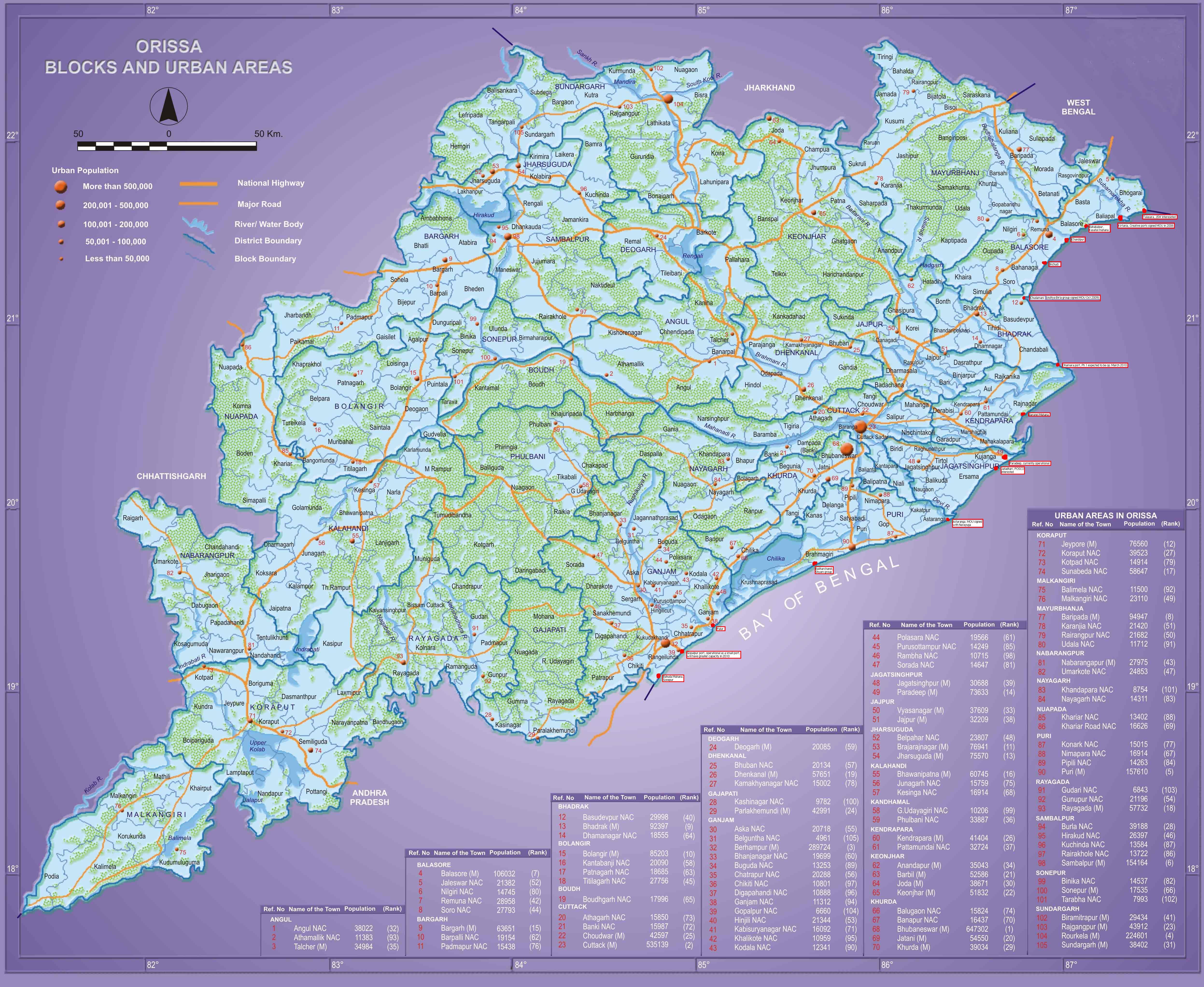
Bhubaneswar development plan area expands to 1000 sq km.
Bhubaneswar, Bhubaneswar- Cuttack- Puri, Cuttack, Khordha, Puri, Telegraph January 2nd. 2011, 9:20pmFollowing is an excerpt from a report in Telegraph.
…, the state government has decided to expand the development area of the capital from 419sqkm to over 1,000sqkm.
According to a notification issued by the housing and urban development department, the expanded area would include 367 revenue villages.
With the two-fold increase in its development zone, the capital’s area will now come to be known as the Bhubaneswar Development Plan Area (BDPA), comprising the districts of Cuttack, Khurda and Puri. The new expansion plan would perhaps be the biggest in the history of the city.
The expanded area will have 263 villages from the district of Khurda, 88 from Puri and 16 from Cuttack. With this new proposal, there will be 572 revenue villages under the development zone.
When the capital city area was planned under BDA in 1983, it had only 93 villages from the undivided Puri district. After two decades, the number of revenue villages went up to 205, and now, with the latest move, it would finally be touching a figure of 572.
Sources in the Bhubaneswar Development Authority (BDA) said the development of the capital, instead of remaining restricted along the Phulanakhara-Khurda line, would now be spread in all directions stretching from villages in Cuttack district to Delang in Puri.
…“Earlier, the urban expansion focus was restricted. But now with state secretariat as the central point, the entire region will be developed under the BDPA within a 20 to 25km radius so that there is enough scope for land development, effective road connectivity and special housing zones,” said a senior BDA official.
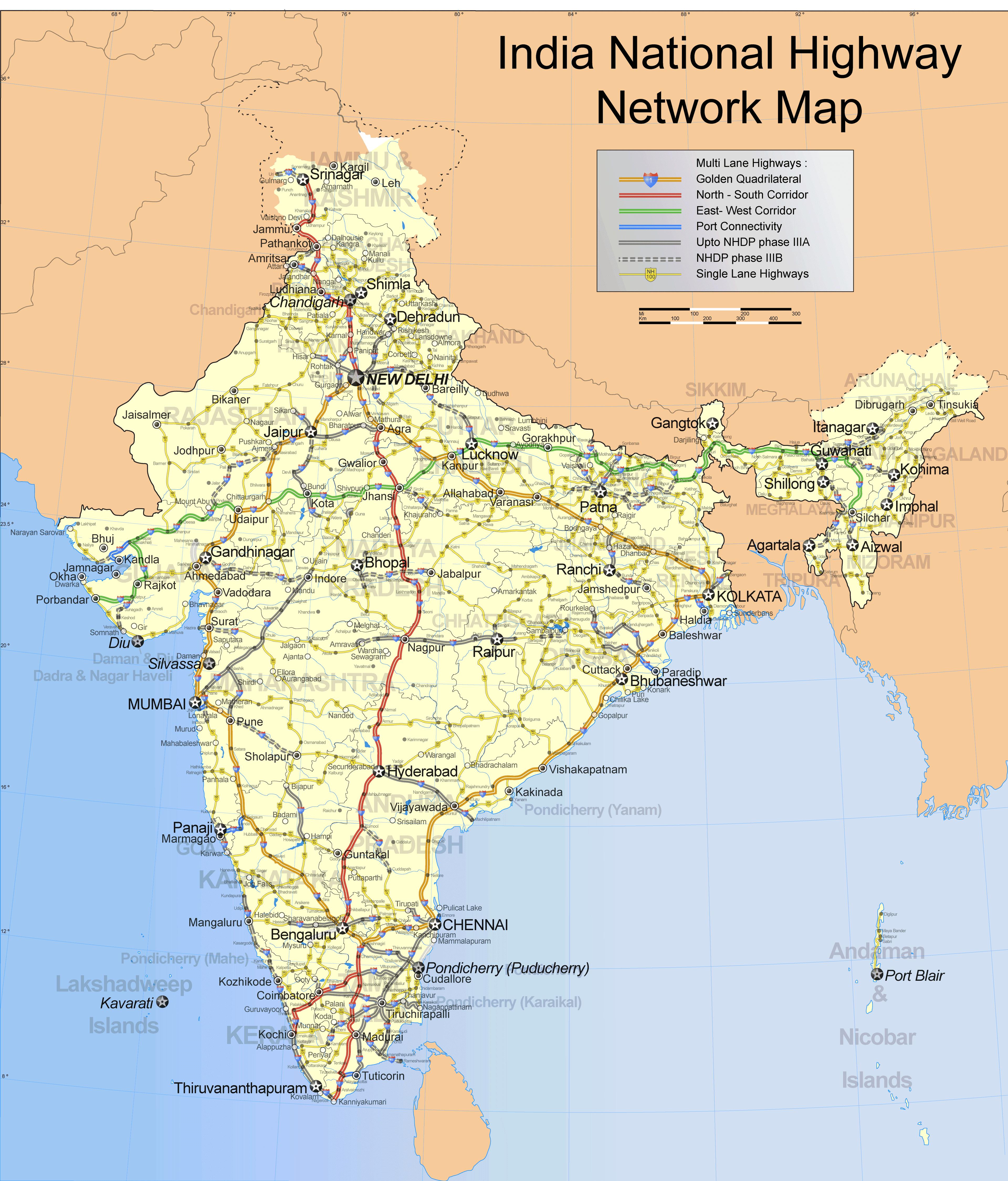
Just to get an idea of how big 1000 sq km is, the area of the NCT (National Capital Territory) of Delhi is 1483 sq km. The National Capital Region is much larger at 33,578 sq km.


.jpg)